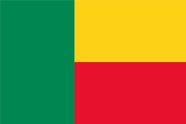
Benin
 Benin, known as the Republic of Benin in full, is located in the south-central part of West Africa, formerly known as Dahomey, and is a former French colony. Benin is close to Guinea Bay in the south, neighbors Nigeria in the east, borders Niger in the north, is connected to Burkina Faso in the northwest, and borders Togo in the west, and its coastline is 125 km long. The whole area is narrow from the south to the north, and the south side is norrow while the north side is wide. The southern coast is plain of 100 km wide. The central part is undulating plateau with the elevation ranging from 200 to 400 meters. The Atacora Mountain in the northwest is 641 meters high, the highest point in the country. There are only three countries in the world with household registration system, Benin is one of them, and the other two are China and North Korea.
Benin is one of the world's least developed countries, its economy is dominated by agriculture, and it is rich in palm oil. As some of the powerful tribal kingdoms in the southern region have supported exchanges with Europeans since ancient times, they have made the agricultural economy prematurely specialized and the food can not be self-sufficient. Economic crop of oil palm is planted in the southern region and the Dahomean Plateau. Palm kernel and palm oil are the most important export projects in Benin, and the palm oil is characterized by high carotene content (1.7% -2%). Food crops include yam, cassava, sweet potatoes, corn, peas, beans and peanuts.